 Photo by @Kimon Maritz
DISCOVER THE AUGSTMATTHORN SUMMIT
Augstamatthorn is one of the best hikes you will ever do near Interlaken.
If you’re exploring Interlaken, you’ve probably heard about the Hardergrat Trail - a challenging 21-kilometer ridge hike from Mais difícil Kulm to Brienz Rothorn. This trail offers incredible panoramic views but is known for its difficulty, often taking over 10 hours to complete. It’s only recommended for experienced hikers under ideal weather conditions.
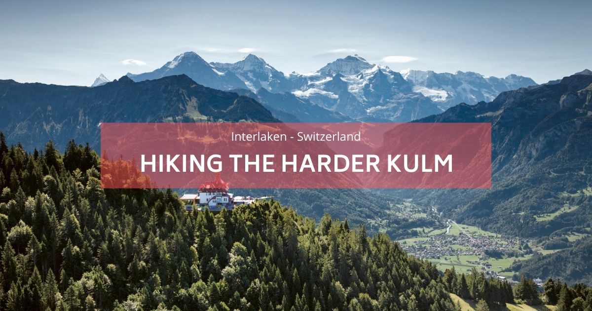
For a slightly less demanding but equally rewarding experience, consider the Augstmatthorn hike. Standing at an impressive 2,137 meters, Augstmatthorn is the highest peak along the Hardergrat ridge and can be reached in about 3 hours (or 9 km) from Harder Kulm. This hike is still challenging but rewards you with some stunning views over Lake Brienz and the Swiss Alps.
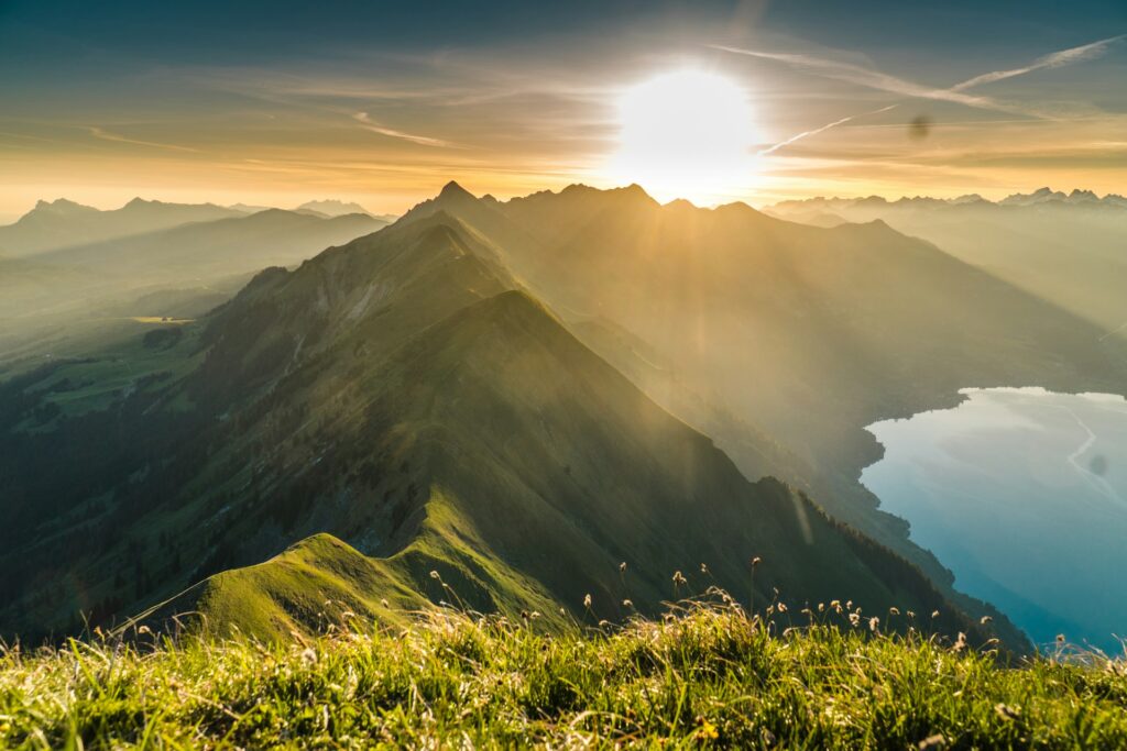 foto por Felipe Giacometti
ITINERARY OPTIONS TO REACH AUGSTMATTHORN
1. Interlaken - Augstmatthorn
- Time: Add an extra 1.5 to 2 hours each way.
- Best For: Early morning hikers looking to avoid the crowds.
- Detalhes: Starting directly from Interlaken is a fantastic option for fit hikers who want a longer trek and don’t mind an early start.
2. Harder Kulm - Augstmatthorn
- Time Saved: Skip the first 850m elevation by taking the Harder Kulm Bahn.
- Detalhes: Catch the Harder Kulm Bahn funicular to Harder Kulm (first departure usually around 9 am; high season may require waiting in line). This saves time and energy, allowing you to fully enjoy the spectacular views.
3. Habkern - Lombachalp - Augstmatthorn
- Access: Take bus 105 from Interlaken West to Habkern, then a van to Lombachalp.
- Detalhes: From the restaurant in Lombachalp, the trail follows through Suggiture to Augstmatthorn. This route offers a shorter and quicker ascent but be sure to check the limited van service schedule in advance. Contact Lombachalp for schedules. please contact the tourism information of Habkern ou o restaurant Jägerstübli.
If you’re considering descending toward Lake Brienz, be prepared for steep trails — great for well-trained knees!
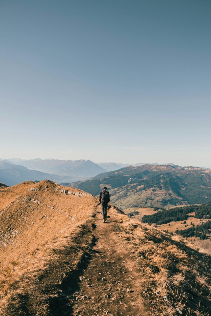
Photo by @Gian Porsius
AUGSTMATTHORN HIKE DISTANCE AND ELEVATION GAIN
- Harder Kulm to Augstmatthorn: This route is around 9 km each way (total of 18 km) with an elevation gain of 963 meters. Allow about 6 hours for this round-trip.
- Lombachalp to Augstmatthorn: Starting from Lombachalp reduces the climb to under 600 meters and shortens the hike to about 3 hours.
ESSENTIAL TIPS FOR HIKING AUGSTMATTHORN
- Check the Weather: Plan your hike for days following dry weather. Summer thunderstorms are common in the afternoons.
- Stay Hydrated: Bring twice as much water as usual since you’ll be mostly exposed to the sun with no water fountains along the trail.
- Bring Snacks & Electrolytes: Carry enough snacks, along with an isotonic drink, to keep energy levels up.
Wear Proper Shoes: Hiking boots are ideal, but sturdy trainers can also work if the trail is dry.
 foto por Cédric Streit


