하르더 쿨름(Harder Kulm) 정상에 어떻게 가나요?
인터라켄의 정상인 하르더 쿨름(Harder Kulm) 정상에 도달하기 위해 하이킹을 하거나 푸니쿨라를 타기 위해 알아야 할 모든 정보는 다음과 같습니다.
인터라켄 – 하르더 쿨름
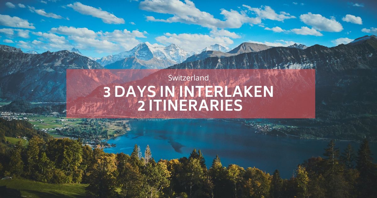
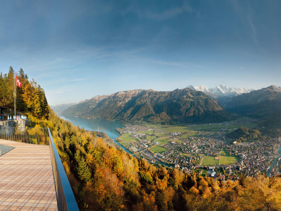
The Harder Kulm is a viewpoint at 1,321 meters in the Berner Oberland region of Switzerland, overlooking the towns of Interlaken and Unterseen. At the summit, there is a wonderful restaurant that looks like a small castle where you can enjoy the magnificent bird's eye views of Interlaken.
하르더 쿨름까지 걸어서 갈 수 있나요?
하르더 쿨름(Harder Kulm)은 많은 산악 하이킹의 출발점입니다. 케이블카를 타지 않고 인터라켄에서 쿨름까지 걸어갈 수도 있습니다. 하더 쿨름(Harder Kulm)까지 도보로 이동하는 것은 긴 하이킹이 아닙니다. 그럼에도 불구하고 산길에서는 매우 힘든 코스이며 일부 구간은 고도가 상당히 높기 때문에 육체적인 능력과 좋은 신발이 필요합니다. 인터라켄의 고전적인 레스토랑 테라스에서 바라보는 멋진 전망이 하이라이트입니다.
하더 쿨름(Harder Kulm) 하이킹을 어디서 시작해야 합니까?
그만큼 하더쿨름 하이킹은 Interlaken-Ost 역에서 시작됩니다.
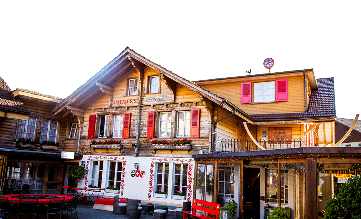
베른에서 인터라켄 동역까지 기차로 바로 도착할 수 있습니다. 자동차로 오는 경우 여러 개의 주차장을 이용할 수 있습니다. 여기를 참조하세요. 그리고 발머스 호스텔, 도보로 20분 거리입니다.
역에서 출발해 서쪽을 쭉 바라보고, 아레 강을 따라 다리까지 걸어가다가 다리를 건너 하르더 쿨름으로 올라가는 케이블카 역 방향으로 향한다.
하르더 쿨름(Harder Kulm) 정상까지 하이킹
케이블카 역 바로 옆에서 등반이 시작되면 몸을 풀 시간이 없습니다. 바로 올라갑니다.
하이킹의 대부분은 숲에서 이루어지며 끊임없이 오르고 있습니다. 일부 구간은 꽤 가파르다. 내려가는 사람은 많이 만나서 올라가는 사람은 거의 없을 수도 있습니다. 길은 굽이가 많고 그다지 넓지 않습니다.
때때로 숲이 맑아지면서 오르면서 점점 커지는 풍경을 엿볼 수 있습니다. 케이블카 선을 여러 번 건너게 됩니다. 그리고 개간이 끝나면 길은 심지어 평평한 곳도 있습니다. 종말이 멀지 않았다는 뜻이다. 마지막 오르막길은 작고 매우 좁은 굽이를 이루고 뾰족한 지붕이 있는 레스토랑 앞에서 넘어지게 됩니다. 언뜻 보면 작은 성처럼 보입니다.
두 호수의 다리라 불리는 테라스로 바로 가보세요. 왼쪽이 브리엔츠 호수, 오른쪽이 툰 호수입니다. 두 호수의 뚜렷한 색깔을 볼 수 있는 가장 좋은 곳이다.
푸니쿨라를 타고 내려가는 중
케이블카를 타고 올라갈 수도 있고 내려갈 수도 있지만, 케이블카는 연중 운영되지 않습니다. 일반적으로 12월부터 4월 중순까지는 문을 닫습니다. 다시 걸어 내려가지 않을지 미리 알아보세요. 참조 Harder Kulm 웹사이트는 여기 정확한 날짜, 가격, 티켓 구매를 확인하세요.
하르더 쿨름(Harder Kulm)은 걸어서 갈 수 있을 만큼 쉬워 보이지만, 힘든 하이킹이라는 점도 지적하고 싶습니다. 인터라켄의 긴밀한 매력은 오해의 소지가 있습니다. 이 코스는 가파른 산길이므로 좋은 신발과 훈련된 하이킹 체격 등 특별한 조건이 필요합니다. 나는 트레일에서 장비도 없고 훈련도 제대로 받지 못한 채 등반에 착수하고 불행하게도 그로 인해 고통을 겪는 사람들을 너무 자주 봅니다. 하이킹은 재미있을 것입니다. 경고를 받았습니다 ......
