세상에서 가장 위험한 하이킹 중 하나라고 하더라고요
하르더그라트 하이킹
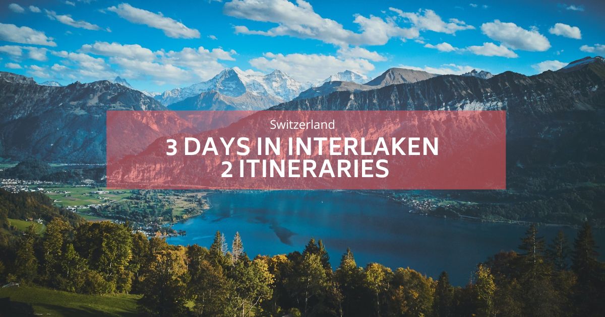
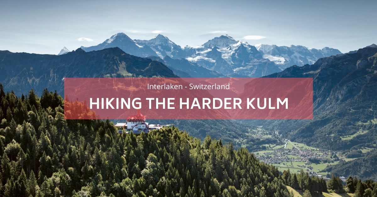
하르더그라트(Hardergrat) 하이킹은 정말 독특하고 놀랍습니다. 그것은 중 하나입니다 스위스에서 가장 힘든 하이킹 그리고 가장 위험한 것 중 하나이기도 합니다. 산 정상까지 하이킹을 하고, 능선을 넘어 또 다른 산 정상으로 걸어가면 옆에 커다란 청록색 호수가 있고, 멀리 눈 덮인 산 정상의 멋진 풍경이 보입니다. 여기에 있다면 꼭 해야 할 일입니다. 트레일은 브리엔츠(Brienz)에서 시작하여 브리엔츠 호수(Brienzersee)를 따라 이어집니다.브리엔츠 호수) 하더 쿨름(Harder Kulm) 역까지.
The Augstmatthorn hike is well worth mentioning—it's a shorter alternative to the more challenging Hardergrat trail, yet no less thrilling or breathtaking. With incredible views along the way, we highly recommend starting with this hike to build confidence and enjoy the adventure! Read here a complete article about the 아우스트마트톤 하이킹!
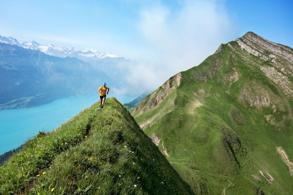
내 말의 뜻을 알면 쉽기 때문에 이곳을 하르더그라트 트레일(Hardergrat Trail)이라고 부르지 않습니다. 이 트레일은 세계 최고의 트레일 러닝 및 당일 하이킹 중 하나로 평가됩니다. 브리엔츠 호수를 따라 스위스 인터라켄까지 거의 쭉 이어집니다. 좁은 칼날 코스의 20km 트레일!
건강한 등산객이 완주하는 데는 약 6시간이 걸리며 매우 가파른 낙하 구간이 많이 있습니다. 이는 숙련된 등산객을 위한 것이며 비오는 날을 피하기 위한 것입니다. 가파른 절벽은 용서할 수 없습니다. 브리엔츠까지 기차를 타고 내려갈 수 있습니다. 하더쿨름, 그러니까 능선을 따라 걸어가기만 하면 되지만, 막차를 놓치면 또 800m의 경사를 내려가게 되기 때문에 빠르고 씩씩하게 걸어야 할 것입니다.
가장 좋은 방법은 가능한 한 일찍 기차를 타는 것입니다 (반값) 브리엔츠까지 이동한 후 능선을 따라 하르더-쿨름 역까지 걸어가서 막차를 타세요. 또는 등산객이라면 Rienzer Rothorn까지 하이킹을 하고 능선을 따라 Harder Kulm 역까지 하이킹을 한 다음 인터라켄까지 내려갈 수 있습니다. 총 길이는 거의 30km이고 고도는 3000m 이상입니다. 그날.
트레일 준비하기
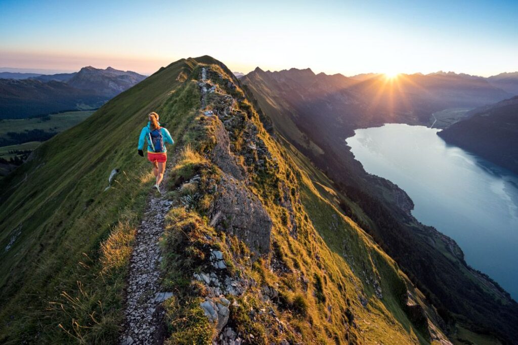
이 하이킹은 대부분 가능합니다. 6월부터 9월까지. 하르더그라트(Hardergrat)는 브리엔츠 호수(Lake Brienz)를 지평선으로 하여 전체 경로에 대한 360도 전망을 제공합니다. 이 트레일은 기술적인 만큼 공중에 떠 있습니다. 현기증이 있는 사람은 자제해야 합니다. 특히 한번 발사된 이후에는 말하자면 탈출구도 포기의 길도 없습니다.
산을 사랑하고 정상을 사랑하는 마음으로 이 얼마나 멋진 봉우리를 정복해야 할까요? Hardergrat는 마음이 약한 사람들을 위한 곳이 아닙니다. 특히 하이킹의 일부가 수백 미터 높이의 낙하에 노출되어 있기 때문에 재미있는 길이 아닙니다. 그러나 감히 이 능선에 도전하는 사람들에게는 알프스가 제공하는 모든 것뿐만 아니라 스위스에서 가장 아름다운 광경을 볼 수 있는 보상이 있을 것입니다.
- 출발: Rothorn Brienzer(브리엔츠에서 이동하는 기관차) 정상 2,350m.
- 도착: Harderkulm(레스토랑 및 전망대) 1322m. 인터라켄으로 내려가는 방법은 푸니쿨라를 이용하는 것입니다. 아니면 다리에 아직 약간의 상처가 있는 경우에는 물론 걸어서도 가능합니다.
다른 방향으로의 경로를 수행하는 것도 가능합니다. - 고려해야 할 사항: 이 트레일에는 물 지점이 없으므로 충분한 물을 제공해야 합니다. 이 트레일은 완전히 건조하고(나들이 전날 포함) 맑은 날씨에만 적합합니다.
- 레벨: 매우 어려움
- 시간: 완료하는 데 평균 10시간이 걸립니다.
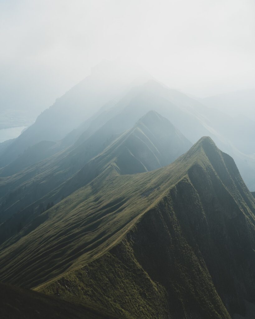
The Hardergrat is not just a trail. It's an adventure where you will have 3000m of vert and plenty of ups and downs in more ways than you can imagine.


