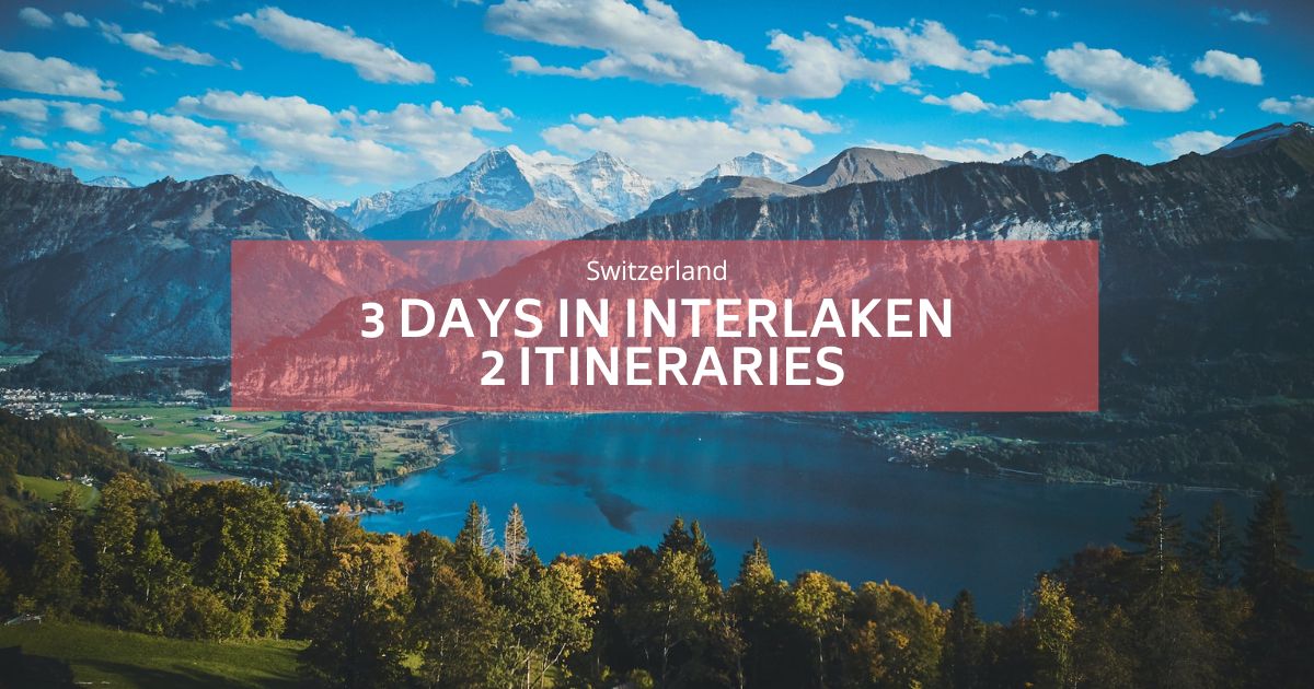
인터라켄, 등산객의 꿈
슈퍼 승무원이 권장하고 테스트 한 인터라켄에서 하이킹을해야 할 5 개를 발견하십시오.
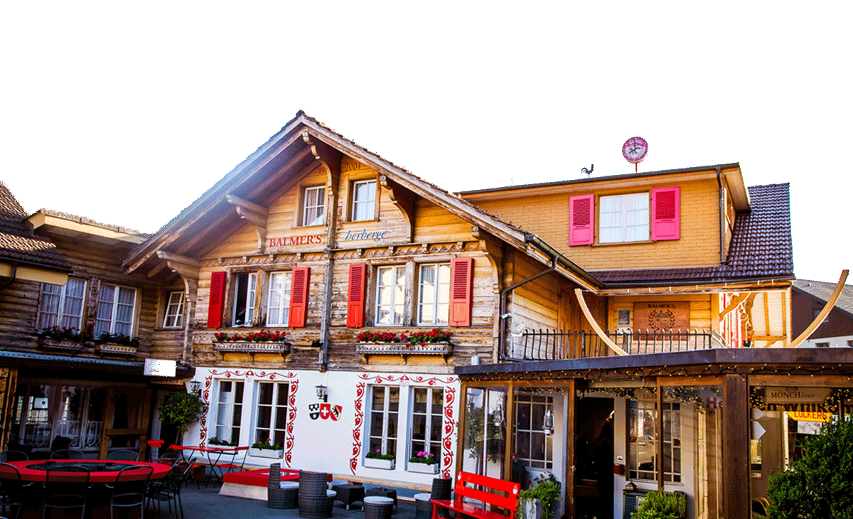
가장 큰 이유가 아니라면 중 하나입니다 발머스 호스텔 매우 인기가 있습니다 환상적인 하이킹에 대한 액세스 트레일 헤드에 도착하기 위해 문 걸음 또는 짧은 기차 여행.
인터라켄 근처에서 쉬운 하이킹
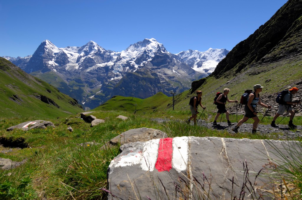
벽이나 능선을 확장하지 않는 한,이 지역의 트레일에는 상당한 등산 기술이나 전문 장비가 필요하지 않습니다. 스위스의 하이킹 트레일은 모두 엄청나게 잘 표시되고 고판화되어 있으므로 하이킹을 할 때 큰 위험을 감수하거나 큰 위험에 처할 때 아무런 문제가 없습니다. 여름 하이킹지도에는 70 개가 넘는 트레일이 표시됩니다. 그리고 그것은 더 단단한 그라트 블로그 게시물만큼 쉽지는 않습니다.
Jungfrau 지역에서 최고의 하이킹
모험을 시작하기 전에 교통이 예산의 상당 부분을 차지할 수 있다는 점에 주목할 가치가 있습니다. 돈을 절약하려면이 인기있는 여행 패스 중 하나를 고려하십시오.
- Jungfrau Travel Pass: Jungfrau 지역의 무제한 여행을 다룹니다.
- Bernese Oberland Pass: Bern, Lucerne 및 Interlaken과 같은 지역이 포함됩니다.
- 스위스 여행 패스 : 스위스 전역의 대중 교통에 대한 무제한 접근을 제공합니다.
- 스위스 반 요금 카드: 대부분의 티켓에서 50% 할인을 제공합니다.
- 게스트 카드 인터라켄
여행 패스에 대한 자세한 내용은 블로그 게시물을 확인하십시오. 인터라켄을 돌아 다니는 방법!
인터라켄에서 하이킹을 할 곳은 어디입니까?
1. Rugen
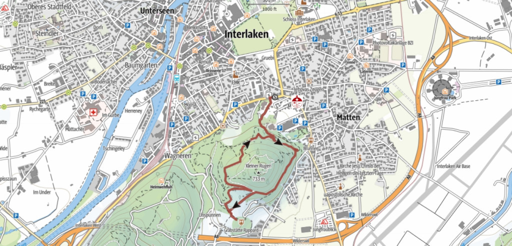
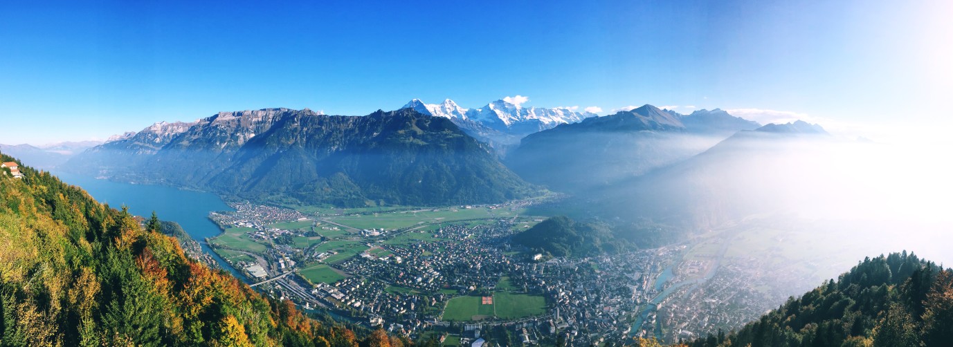
이 트레일 헤드는 a 도보로 5 분 숙박소 정상까지 30-40 분의 하이킹에 불과하며, 당신이 원하는만큼 적합하지 않거나 한 시간 또는 2 시간을 죽이고 싶지 않다는 것을 알고 있다면, 당신의 전화는 당신을위한 휴대 전화입니다. 인터라켄과 두 호수의 멋진 전망을 얻을 수 있으며 360도 전망을 제공합니다. 인터라켄의.
2. 더 어려운 쿨름
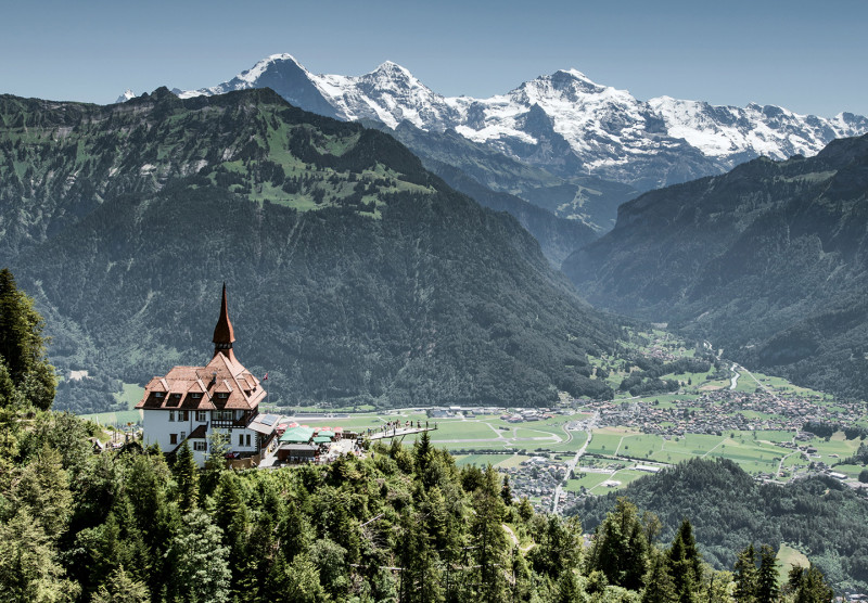
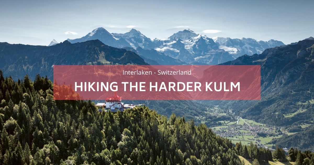
다음으로 목록에 있고 하이킹 규모의 난이도에 대한 한 걸음 더 올라가고 Step Up은 상당히 상당합니다. 어려움의 증가는 더 어려운 쿨름에 평평한 부분이 없다는 사실입니다. 그것은 전체 방식으로 올라가고 전체 방법입니다. 케이블카를 사용하지 않는 경우. 피곤한 경우 항상 뇌간을 위 또는 아래로 가져갈 수 있습니다. 티켓을 상당히 할인 된 요금으로 구매할 때 방문자 카드를 사용해야합니다. 하이킹은 어느 쪽이든 약 1.5 시간이며 상단은 실망하지 않습니다. 그들은 당신이 장엄한 정 프라우, 몬치, 아이거 산맥을 볼 수있는 놀라운 유리 바닥 바닥 전망대를 가지고 있습니다. 점심이나 상쾌한 맥주를 즐길 수있는 오래된 수도원이었던 멋진 작은 식당이 있습니다!
- 우리의 블로그 게시물을 읽으십시오 더 어려운 쿨름 하이킹.
- Harder Kulm에서 시작할 수도 있습니다 Augstmatthorn 하이킹.
3. Lauter Bounds : 72 와트의 계곡에스
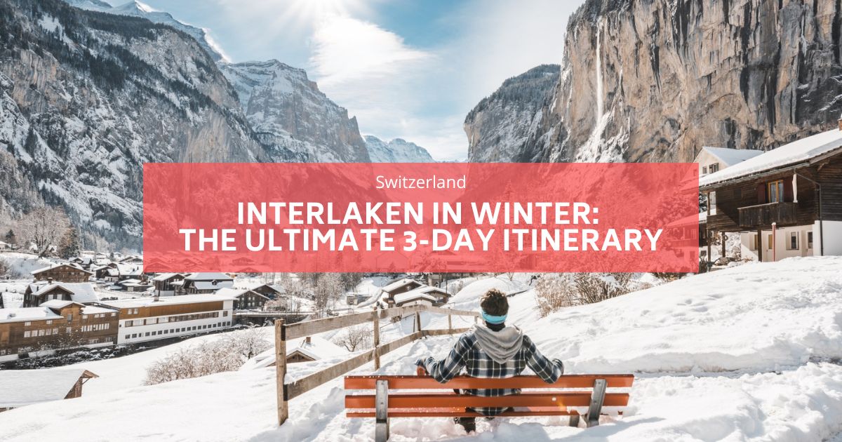
Lauterbrunnen은 Jungfrau 지역에서 가장 상징적 인 하이킹 목적지 중 하나이며, 평평한 계곡 산책과 파노라마 산 트레일을 혼합합니다. 이것은 Lauterbrunnen Valley의 바닥을 통한 루프와 상단을 가로 질러 루프에 가깝습니다. 전체 거리를 하이킹하지 않으면 섹션으로 나눌 수 있습니다.
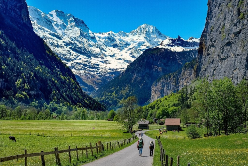
추천 하루 종일 여정은 다음과 같습니다.
- Grutschalp에서 하이킹을 시작하십시오
Lauterbrunnen에서 케이블카를 타고 Grutschalp로 이동하여 Mountain View Trail의 시작을 찾을 수 있습니다. 이 경치 좋은 길은 약 2-3 시간이 걸리며 그림 같은 마을로 안내합니다. 뮤렌! - Mürren과 North Face Trail을 탐험하십시오
Mürren에서는이 자동차가없는 알파인 마을 주위를 산책하거나 주변 봉우리의 멋진 전망을 보여주는 루프 인 North Face Trail을 다룰 수 있습니다. - Gimmelwald로 내려갑니다
모험적인 등산객은 시도 할 수 있습니다 페라타 Mürren에서 Gimmelwald 로의 라우트 (자세한 내용은 우리의 자세한 내용을 읽으십시오 페라 타 가이드를 통해). 또는 현지 농민들이 보유한 명예 시스템 냉장고에서 신선한 농산물을 구입할 수있는 기이 한 마을 인 Gimmelwald까지 여유롭게 걸어 가십시오. - 계곡 산책로로 마무리하십시오
Stechelberg 역에서 평평한 트레일을 따라 Lauterbrunnen으로 돌아갑니다. 계곡을 통과하는이 평화로운 산책은 하루를 끝내는 완벽한 방법입니다.
자세한 가이드는 다음에 블로그 게시물을 확인하십시오. Lauterbrunnen에서 하이킹 and Lauterbrunnen에서해야 할 일.
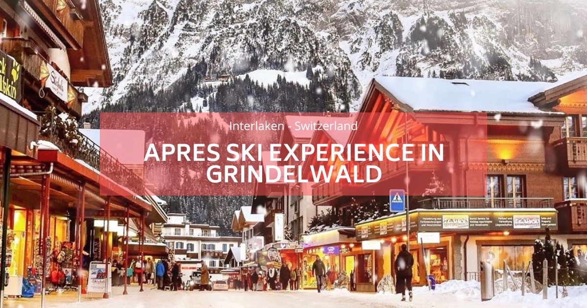
4. Grindelwald : Alpine Adventure Hub
Grindelwald는 등산객에게 이상적인 기반으로 편안한 산책에서 도전적인 알파인 모험에 이르기까지 다양한 트레일을 제공합니다.
여기에 도착하려면 짧은 30 분의 기차를 타야하지만 일단 거기에 열린 계곡이 있고, 하루 종일 맑고, 당신은 알파시주의의 꿈인 유명한 Eiger North Face의 기초에 있습니다.
- 필수품 : 첫 번째 절벽 산책
케이블카를 먼저 가져 오십시오. 유명한 첫 번째 클리프 워크 (First Cliff Walk)는 주변 봉우리의 숨막히는 전망을 제공하는 스릴이 있지만 접근 가능한 경험입니다.
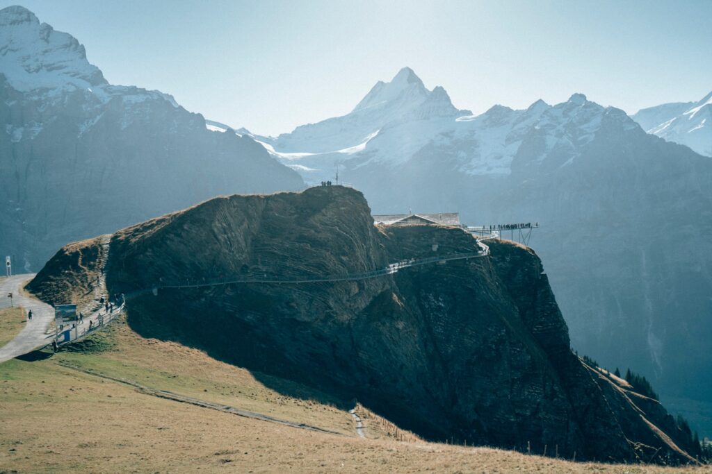 처음에는 식당에 붙어있는 새로운 티토 코 절벽 산책로에 곤돌라를 가져갈 수 있습니다. 당신은 항상 할 수 있습니다 Grindelwald에서 First까지 하이킹하십시오 which is about 3-4 hours up. The majority of it is on a paved path so the trail is incredibly easy to follow with not much navigation.
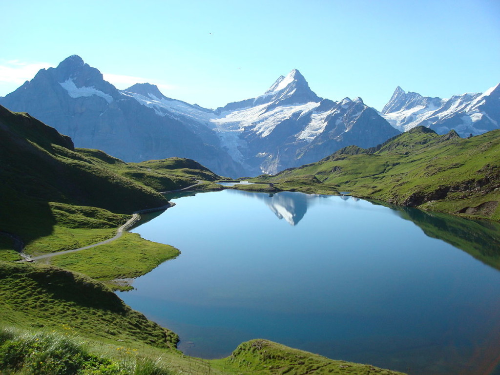
When you arrive at First and have taken your share of selfies on the Cliff Walk there is the extra option to continue on for another 1 hour 1 way to Bachalpsee, which is a glacial, lake situated over 2000m above sea level. Words and pictures do not do it any justice. It looks like an infinity pool with a view and is most popular for a surprise engagement setting! Wink wink…
The trail is dotted with alpine wildflowers, cows with bells, and jaw-dropping glacial views, and is a must for anybody visiting the region. Once again due to the transportation infrastructure of Switzerland, you can access First via cable car if you wish to give your legs a rest during your time here if you have been hitting the trails hard.
- Schnynige Platte는 먼저
더 길고 보람있는 하이킹을 위해 Schnynige Platte (Wilderswil에서 기차로 접근 할 수 있음)에서 시작하여 융기 부과 알파인 호수를 따라 멋진 5 시간 트레일을 따라 처음에는 마무리됩니다.
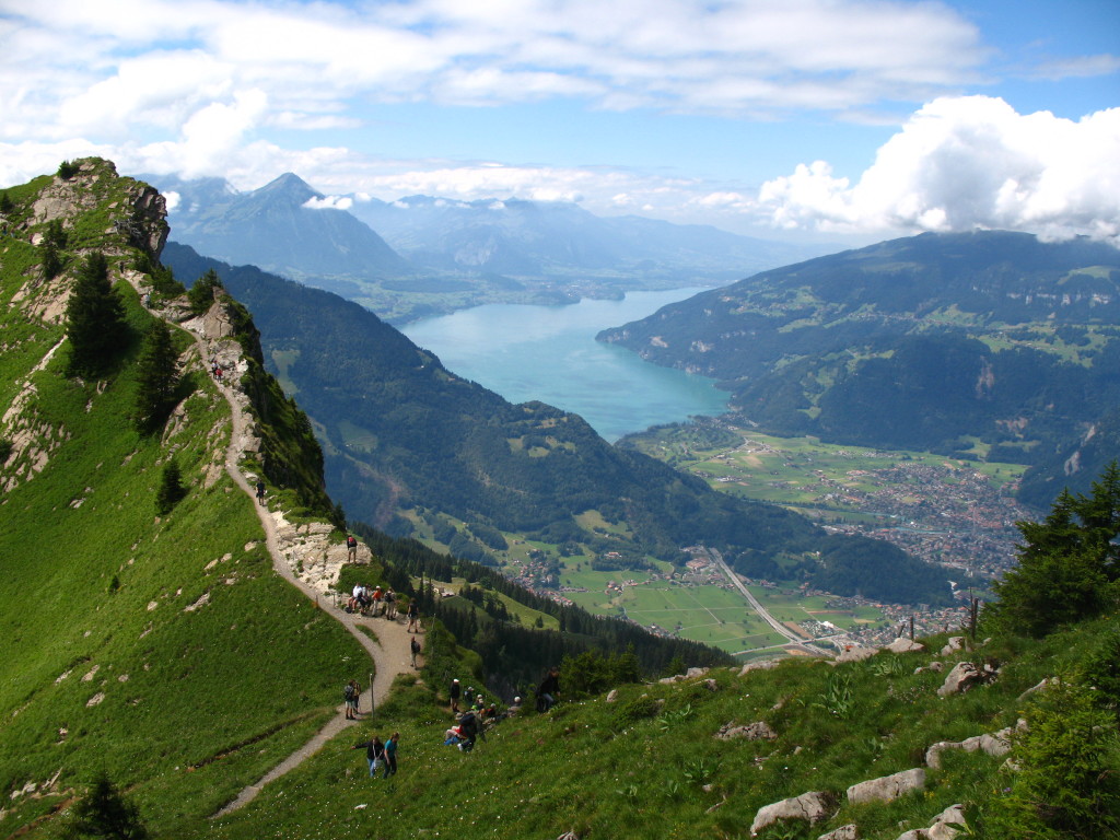
For a total 32.5km long with 2378m of elevation up and 1918 elevation down. It starts in Wilderwil, which is a few minute's bus ride from the hostel, and then rises up to the Schynige Platte. The Schynige Platte is where 16.2km of this trail starts which is the main chunk of it and it cannot be skipped with public transportation. The end of this section finishes at First which is previously mentioned in the last hike and offers you the choice if you are too tired to carry on to ride a cable car back down to Grindelwald. You can also take the charming original wooden train up and hike around the top of the Schynnige platter area.
Read our blog post about hiking in 좋은 기록 여기.
- 아이이지 트레일
Get closer to the legendary Eiger mountain with options like the Männlichen to Eigergletscher hike or the Eiger Trail. For thrill-seekers, the Rotstock Via Ferrata offers an unforgettable adventure.
For detailed guides, visit our posts on:
5. Giessbach Falls : 편안한 반나절 하이킹
For a more laid-back experience, the hike to Giessbach Falls is a perfect choice. Start in Iseltwald, a charming lakeside village accessible for free with your guest card. From there, follow a mostly flat trail along Lake Brienz, taking in the serene views.
The hike is about 3 hours round trip and leads you to the stunning Giessbach Falls, featuring 14 cascading tiers. Want more tips for this hike? Check out our blog post on 기스바흐 폭포!
인터라켄 지역에서 하이킹을 위해 가져올 것
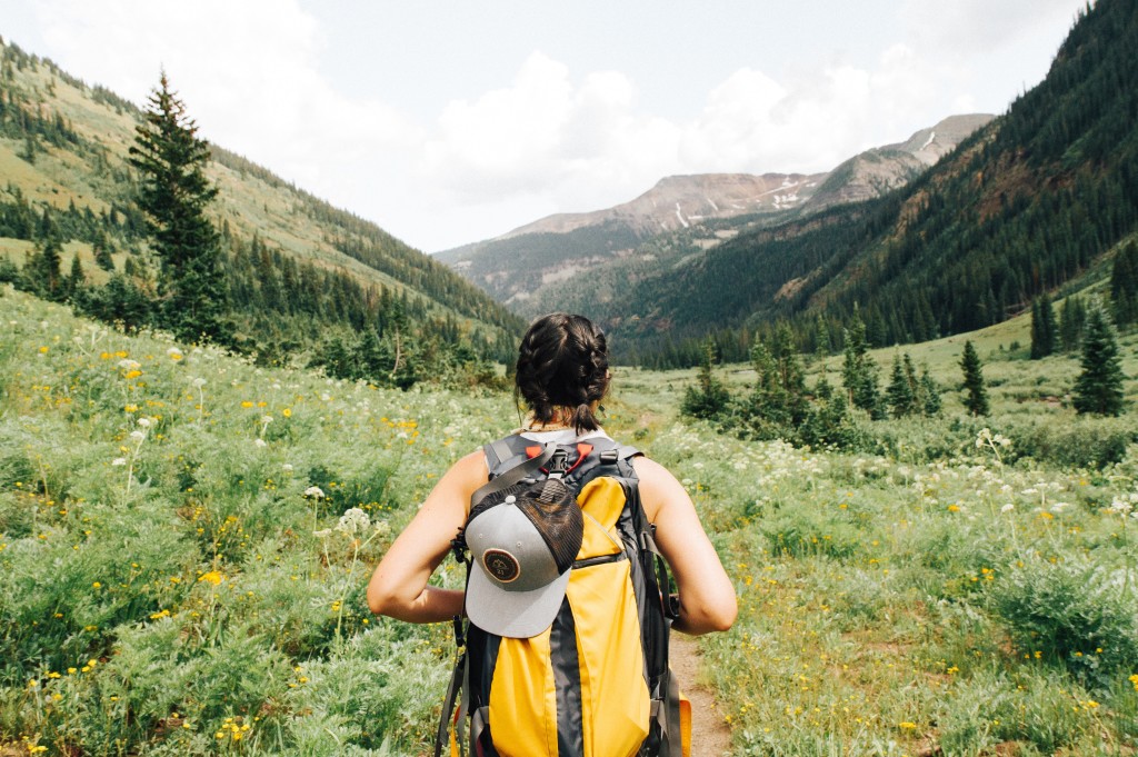
이 모든 하이킹은 계획 및 준비와 관련하여 많은 것을 요구하지 않습니다. 날씨 확인 리셉션 직원과 함께보고하십시오 발머스 호스텔 before setting off along with packing snacks and energy food, lots of water, sunglasses, and of course good hiking shoes. Trainers will do fine too but no flip-flops or high heels! A camera or phone is ESSENTIAL for the hundreds of Insta glam pictures you can boast about afterward.
As with all hiking it is advisable to carry a rain jacket even with clear skies, and a working mobile phone in case you come into trouble too. 스위스 여름은 당신이 생각하는 것보다 뜨거워집니다 so sunblock is essential, arriving back at the hostel looking like a lobster might put a dampener on your plans for the next few days.
Common sense prevails and most locals are eager to help with any questions.
호기심 많은 사실 :
당신은 농장 밖에서 작은 냉장고를 발견 할 수 있습니다. 그 안에는 현지에서 만든 치즈, 우유, 음료, 경화 된 소시지와 햄이 있습니다. 이것들은 정직한 상자와 함께 작동하므로 자신을 도와주고 농부들이 나중에 데리러 갈 상자에 돈을 남길 수 있습니다.
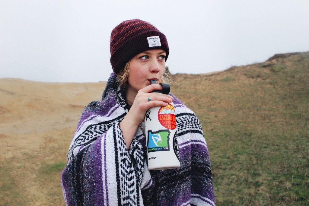
스위스는 최고의 식수를 가지고 있으므로 재사용 가능한 물병 (지구를 구하십시오)을 가져 와서 많은 분수대에 채워야합니다. 이 물은 빙하에서 곧바로 나오고 소문이 있습니다. 그것은 당신의 삶에 몇 년을 더합니다! 항상 수분을 유지하십시오!
