Wie komme ich auf den Gipfel des Harder Kulm?
Here is all the information you need to know to hike or take the funicular to reach the summit of Harder Kulm, the Top of Interlaken.
Interlaken – Harder Kulm
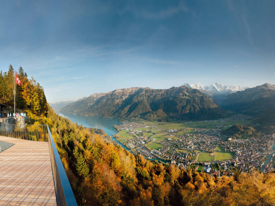
Der Harder Kulm ist ein Aussichtspunkt auf 1.321 Metern Höhe im Berner Oberland in der Schweiz mit Blick auf die Städte Interlaken und Unterseen. Auf dem Gipfel gibt es ein wunderbares Restaurant, das wie ein kleines Schloss aussieht und von dem aus man die herrliche Aussicht auf Interlaken aus der Vogelperspektive genießen kann.
Kann man zum Harder Kulm laufen?
Der Harder Kulm ist Ausgangspunkt für viele Bergwanderungen. Von Interlaken aus können Sie den Kulm sogar zu Fuß erreichen, anstatt mit der Standseilbahn zu fahren. Der Weg zum Harder Kulm zu Fuß ist keine lange Wanderung. Dennoch handelt es sich um eine anspruchsvolle Strecke auf einem Bergweg mit einigen Abschnitten mit recht starken Höhenunterschieden, die körperliche Kondition und gutes Schuhwerk erfordern. Ein Klassiker in Interlaken mit herrlichem Ausblick von der Restaurantterrasse als Highlight.
Wo kann man mit der Wanderung auf dem Harder Kulm beginnen?
Die Harder Kulm Die Wanderung beginnt am Bahnhof Interlaken-Ost.
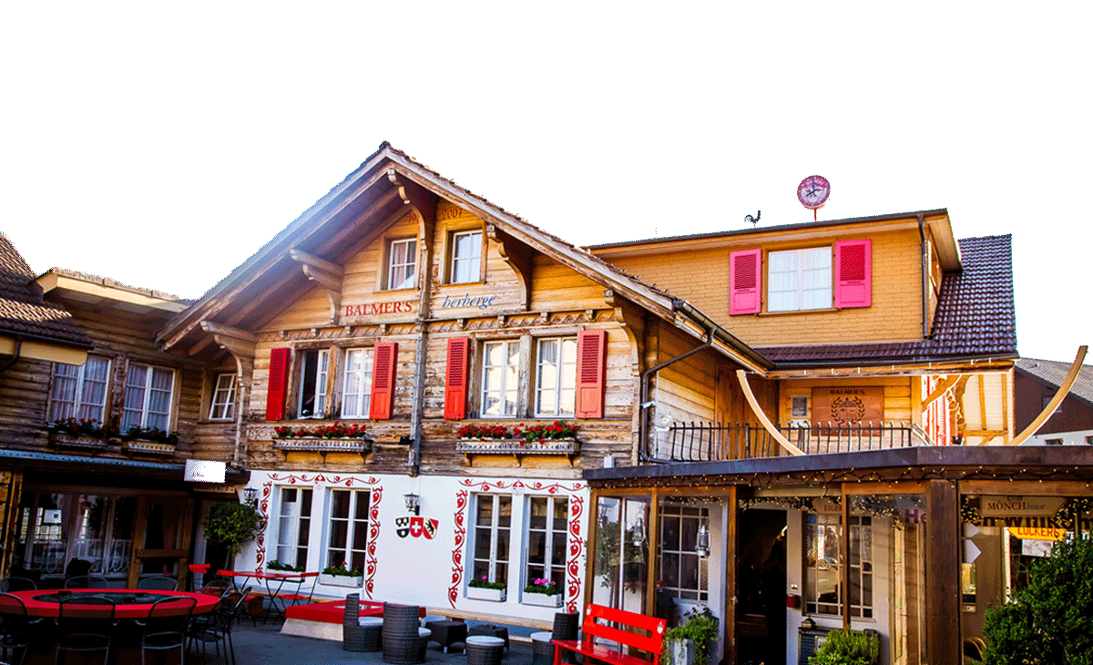
You can arrive by train at Interlaken-Ost station directly from Bern. If you are coming by car, there are multiple car parks available to you, see here. And from Balmers Hostel, es ist ein 20-minütiger Spaziergang.
Vom Bahnhof aus blicken Sie ganz nach Westen, dann gehen Sie der Aare entlang bis zur Brücke, überqueren diese und gehen in Richtung der Standseilbahnstation, die auf den Harder Kulm führt.
Wanderung zum Gipfel des Harder Kulm
The start of the climb, which is right next to the funicular station, does not give you time to warm up. It goes straight up.
Most of the hike is in the forest and constantly climbing. Some sections are quite steep. You might meet a lot of people who go down, and therefore few who go up. The path is not very wide with many bends.
Now and then, in the forest, allowing you to catch a glimpse of the view that grows in as you climb. You will cross the lines of the funicular several times. And at the end of a clearing, the path is even flat in some places. That means that the end is not far away. Last climb, small, very tight bends, and then you will tumble in front of the restaurant with the pointed roof. At first glance, it looks like a small castle.
Go directly to the terrace, which is called the bridge of the two lakes. Lake Brienz is on the left, and Lake Thun is on the right. This is the best place to see the distinct colors of the two lakes.
- Vom Harder Kulm aus kann man auch starten Augstmatthorn-Wanderung.
Abstieg mit der Standseilbahn
You can take the funicular to go up as well as to go down, but the funicular is not in operation all year round. It is generally closed from December to mid-April. Find out before if you are not going to walk back down. See the Harder Kulm-Website hier für genaue Termine, Preise und Ticketkauf.
We would also like to point out that while the Harder Kulm looks easy enough to reach on foot, it is a hard hike. Its close appeal from Interlaken is misleading. The trail is a steep mountain path and therefore requires special conditions such as good footwear and a trained hiking physique. Too often, I see people on the trail, not equipped and poorly trained, undertaking the ascent and, unfortunately, suffering from it. The hike must be fun, you have been warned ......